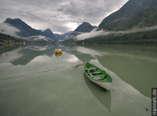
The Norwegian fjords are certainly among the most fascinating landscapes on earth (see also my book The Formation of Mountains). It’s incredible what the glaciers of the ice ages were capable of. My first was the Geirangerfjord, the most famous and full of cruise ships, probably because of its waterfalls and the S-shaped bend.
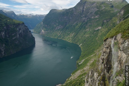
The weather forecast forced me to cut my programme from two days to one. So I borrowed a mountain bike for the morning and cycled up to Ørnesvingen, the uppermost curve of the northbound road with one of the postcard views of the fjord. Then I raced down into the village and up the other side to get the photo of Flydalsjuvet as well…
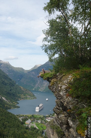
In the afternoon, there was still enough time to hike to the vantage point Preikestolen and the small farm Skageflå clinging high above the fjord.
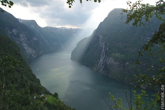
The next day the weather was not so bad after all. All the better to enjoy the ferry ride to Hellesylt. From the end of the Nordfjord I started to hike in the late afternoon at sea level, pitched my tent by a mountain lake and finally stood on the summit of Skåla (1843 m) just in time for sunset. Up there I had a fantastic view of the glacier world of the Jostedalsbreen, the largest glacier on the European continent. In the light of the headlamp, I searched my way back to the tent.
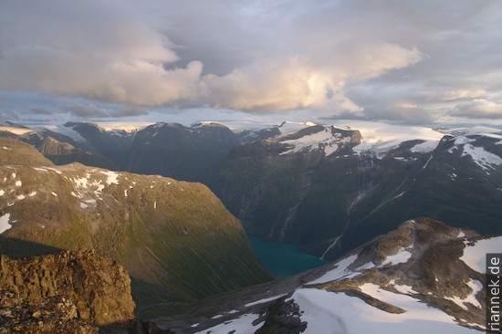
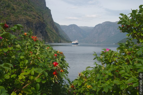
The next fjord was the Fjærlandfjord, a branch of the Sognefjord on the other side of the Jostedalsbreen. I could have saved myself the bike ride to the less spectacular glacier stream Bøyabreen, but the boat trip through the widely branching fjord system to Flåm was nice. From here I took the obligatory ferry ride through the Nærøyfjord to Gudwangen. The ride is so popular that there are tourist notices in various languages, including Chinese and Japanese.
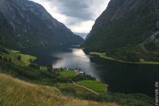
As soon as we arrived, almost everyone rushed into the waiting “Norway in a Nutshell” buses. Instead, I hiked along the fjord to Bakka, from where a steep path leads up into the mountains with spectacular views. Unfortunately, I only had time to reach the top of the waterfall.
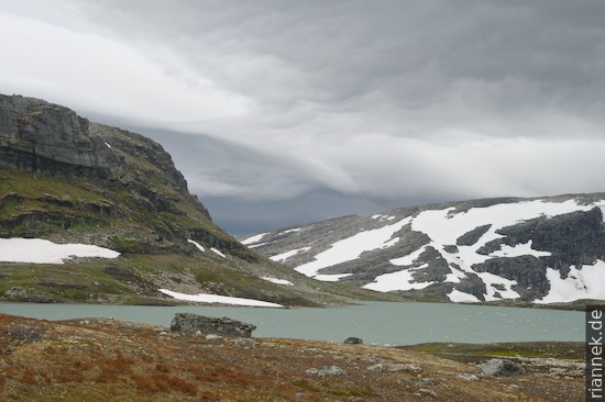
After a hike through the wild Aurlandsdalen valley in perversely good weather (rain was forecast), I set off in the rain for the next fjord: by train to Finse and then on foot in 2 1/2 days across Hardangervidda to Vøringfossen near Eidfjord. The rugged high plateau of Hardangervidda, the largest in Northern Europe, is a landscape of rocky humps, mosses and countless lakes and ponds whose character changes constantly with the changeable weather.

I spent the first night at the foot of the Hardangerjokulen glacier. Just as I was about to take down my tent, it took off like a UFO in a violent gust of wind, the pegs fell out of the stony ground and it flew away in great leaps. I rushed after it and was able to catch up with it after some time in a calm hollow. Only it started raining in the meantime and by the time I got back all my things, which I had spread out nicely to pack, everything was soaking wet. Good morning! At least the tent survived the flight test surprisingly well, apart from minor tears. As soon as I set off, the rain stopped again. The wind picked up, I leaned against it with my backpack and my eyes started to water.
But it stayed dry, and so I decided to make a detour to the postcard-pretty Kjeåsen farm. Even though there is no path marked on the map, there is one, which is even marked with a cairn now and then, but it is so small that you really have to look for it. At a lofty height I approached the Eidfjord, the farm is somewhere down there, halfway up.
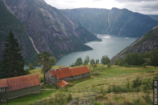
I had expected tourist hustle and bustle, the view over the farm to the fjord is one of Norway’s postcard views and at least there is a road leading up. The old woman who still lives up here tells me that three days ago there were two tour buses here. Now it is quiet, she is impressed that I have come on foot from the mountains, gives me a Coke and then even slips me some waffles as a snack on the way.
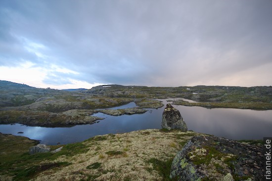
On the way up, it rains again and the fjord fills with mist like the bubble bath in a bathtub. Of course I hurry, my sense of direction works like a GPS and I’m back at the top faster than I needed to get down. Ironically, the sun shines again in the evening, but the weather the next day is so bad that it cannot be described. I pack up my tent in the rain, eat lunch in the rain (the bread turns to mush in my hands) and put up my tent again in the rain. By now really nothing in my backpack is dry, even my camera is dripping. As planned, only without visibility, I reached Vøringfossen and even marched down into the valley, because on weekends the bus schedules are a disaster.
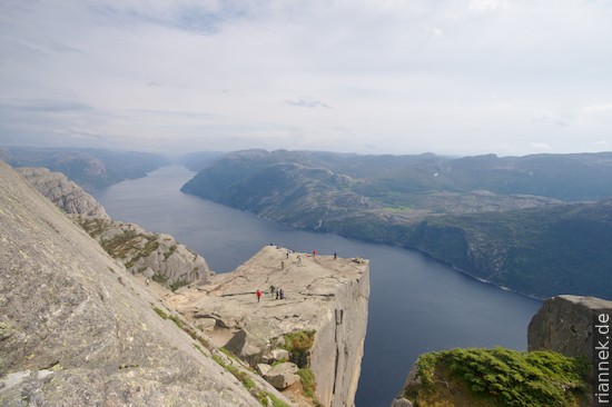
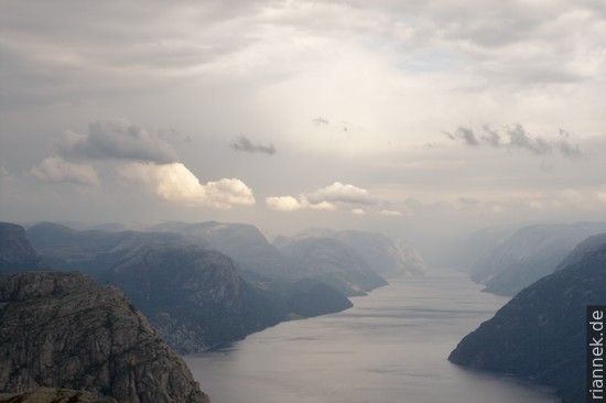
The last fjord I visited was the Lysefjord near Stavanger. Preikestolen is easy to reach and really one of the most fascinating viewpoints. The platform, bordered on three sides by vertical cliffs, hovers just over 600 m above the fjord. With the constant change of rain and sunshine, the Fjord of Light really lived up to its name.
Now I could write another post about the oil museum in Stavanger, the crooked and leaning houses on Brygge in Bergen and about Nidaros Cathedral in Trondheim, but I don’t feel like it.