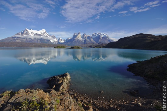
Photos of the Cuernos del Paine have always been a symbol of untouched, secluded wilderness for me. Quite different from what the pictures suggest, there is a lot going on here: one tour bus after another bumps along the road and several buses also bring a flood of hikers into the national park every day. The “W”, named after the shape on the map, is certainly one of the most popular treks on earth, and rightly so. However, it is recommended to hike around the entire mountain massif, the W is then the spectacular south-western half. It is quieter on the “back” side, although the landscape here is also wonderfully varied. If you stubbornly walk through, you can do the entire Cirquit in 7 days, but as always in Patagonia, you should plan a few extra days to wait for good weather now and then.
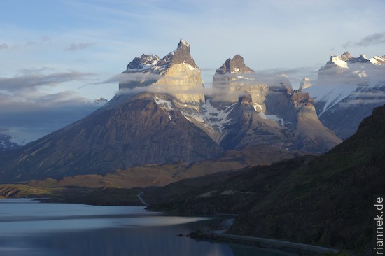
Unfortunately, there have been two devastating forest fires in recent years that have destroyed a huge area. If you have the images of lush green hills in your mind and gnarled southern beech trees ruffled by the wind, all that is history. The hills are brown-grey and all that is left of the trees are charred trunks, a sad sight and a reminder of what trekkers can do. But the mountains are still fantastic, the glaciers are still (still!) huge and the lakes still have their incredible colour. Paine means blue, by the way, in the indigenous language.
Anyone interested in geology has a lot to discover here (see also my book The Formation of Mountains). I know of no other granite intrusion where you can see the contact with the adjacent rock (clastic sediments) so well in all three dimensions, so perfectly are the valleys and mountain walls arranged. A laccolith as it is written in the book. You can really see how the melt has squeezed between the sediment layers. In some places you can see dykes branching off from the intrusion, in another place large pieces of the roof have sunk into the intrusion. Strictly speaking, there have been three pulses of granite magma, each of which has intruded beneath the older ones (Michel et al 2008).
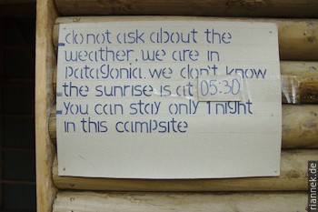
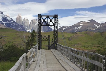
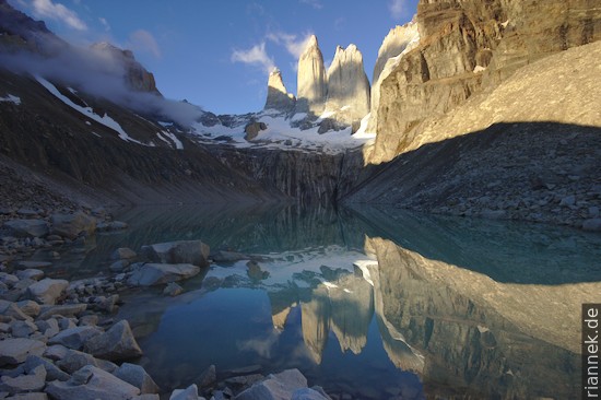
As the weather is good, I hike from the starting point at Amarga straight up to the highlight of the trek, the Torres del Paine. However, sunrise is not so good and as you are only allowed to stay one night in the “Base Camp”, I climb up from the hut Chileno for the second attempt in 2 hours with a headlamp. It was worth it! The three towers above the lake are a magnificent sight. No wonder they are often compared to the Tre Cime in the dolomites, but they are much higher! The highest peak, by the way, even if it doesn’t look like it from this perspective, is the one on the left: the summit is almost 2000 m above the lake.
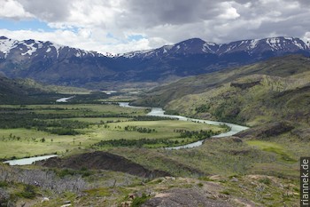
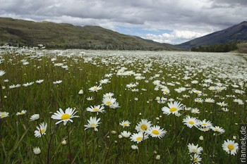
Because I think I have to take advantage of the good weather, I march straight to the Refugio Dickson, normally more than 2 stages away. I pass the meanders of the Rio Paine, over daisy meadows and mountain pastures full of orchids, past a lake and through swamps before the hut, situated on a peninsula by a lake, comes into view. The ice sheet shines in the background.
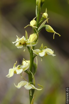
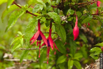
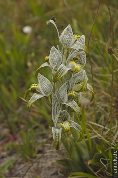
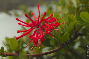
There is no sign of any of this for the next two days, just heavy rain and there is not even a warm shower in the hut because the gas is off …
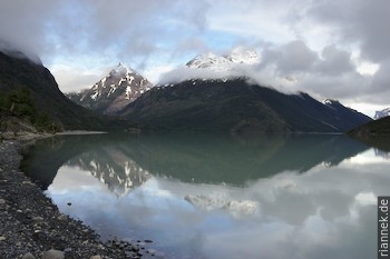
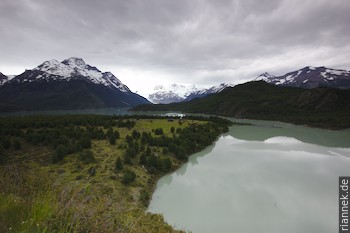
After a night at Camp Los Perros, I ascend to the pass in heavy snow flurries and icy winds, although the rising air pressure had given me hope. And indeed, as soon as I reach the other side, it clears up from time to time and reveals the huge ice surface of the Grey Glacier.
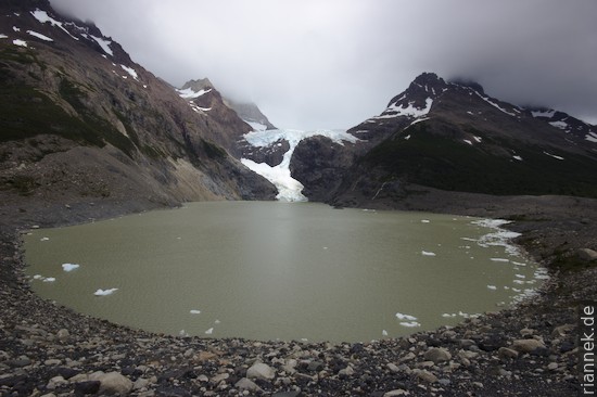
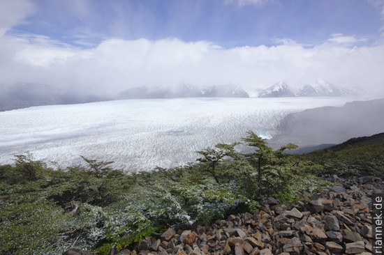
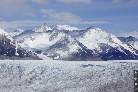
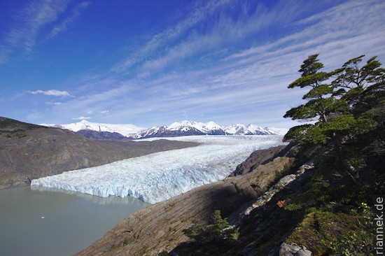
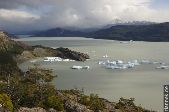
Shortly after Refugio Grey, the burnt area begins. The views of the lake and the glaciers are still great, how much nicer it must have been here!
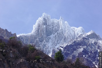
A detour into the Valle del Frances follows, initially climbing with a view of the icy face of the Paine Grande and reaching a wide valley basin surrounded all around by huge rock faces and towers. I would have loved to see the whole panorama at once, but unfortunately only individual mountains emerge from the clouds, if at all.
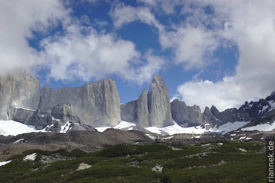
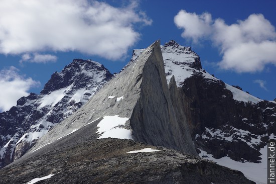
After spending 3 nights in the valley, I give up. If only because I have no food left, not even a single oat flake is left and the book is also over. At lunchtime I make do with a few expensive biscuits, something else was not available in the Los Cuernos hut. The last day offers mainly views of Lake Nordenskjoeld, then the circle is closed.
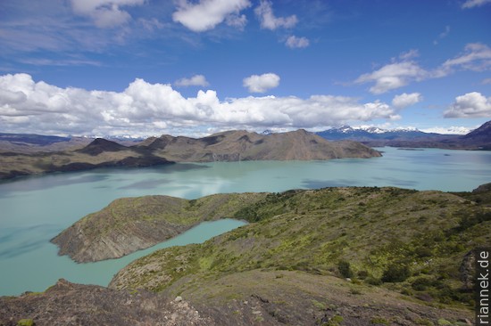
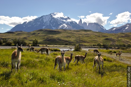
The end would be a bit sad, but the postcard view over Lago Pehoe to the Cuernos del Paine is still missing! You have this view directly from the Pehoe campsite. Unfortunately, I just miss the bus, which turns out to be lucky, because it gives me time to photograph a few guanacos posing in front of the Torres del Paine before I get a lift from a Brazilian geologist couple.
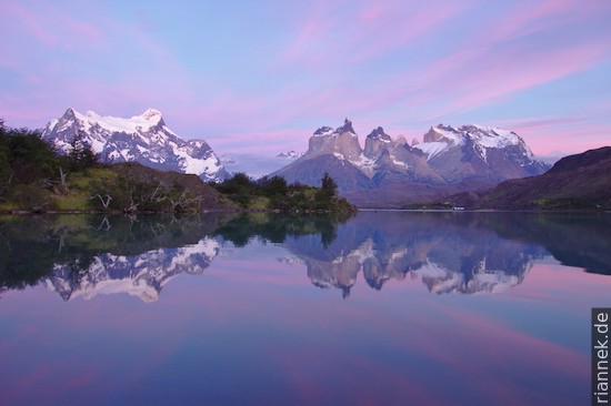
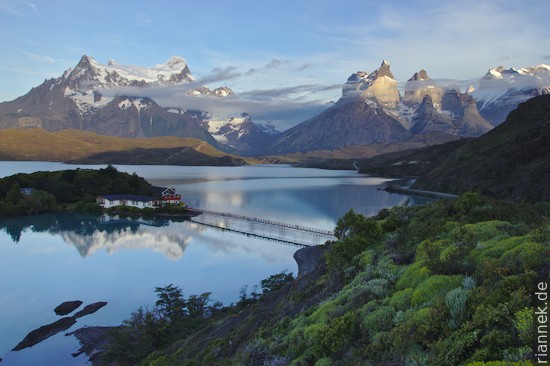
So in the evening I sit in the campsite restaurant with an unbelievable view, a perfect ending and, by the way, it’s Christmas Eve. The weather is suddenly perversely good, not a single cloud in the sky and the view looks so unreal that I would love to scratch the window pane to see if it isn’t just wallpaper after all. For two days I follow how the colours change in the changing light.
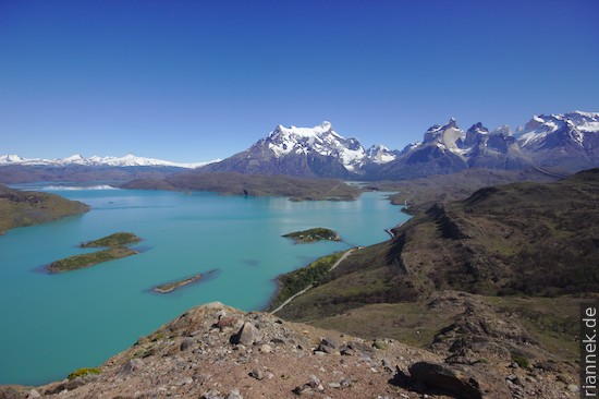
Read on
Patagonia
The Formation of Mountains
Trek to Cerro Torre and Fitz Roy
Perito Moreno Glacier
Punta Arenas
Trekking and Photography