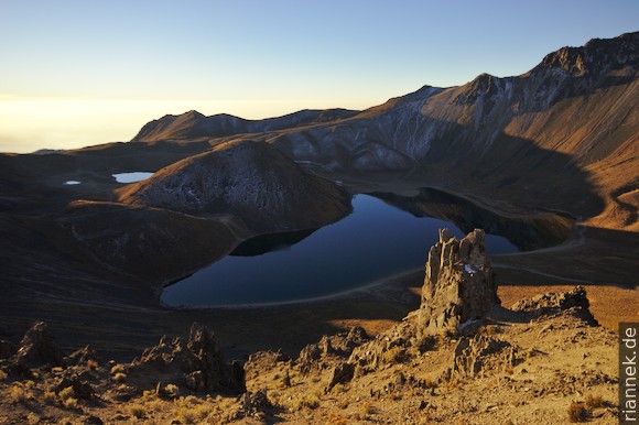
The volcano Nevado de Toluca (4704 m) has two beautiful lakes in its crater, separated by a lava dome. A sharp crest with the highest peaks surrounds the crater in a crescent shape. Next to it, separated by a pass, is a less rugged peak; and the last segment of the crater rim is about the same level as the lakes. Actually, the gravel road leads here all the way into the crater, but you are only allowed to drive as far as the meteorological station, about 150 metres in altitude below the pass.
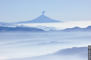
From the car park I hike over the pass to the smaller Laguna de la Luna and back at dusk to acclimatise, before spending a very cold night in the rental car.
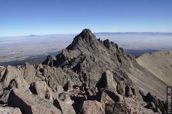
Probably the most beautiful route to the main summit leads from the pass along the crest over various secondary peaks: a beautiful traverse with some easy scrambling now and then (at the end of November, the “Nevado” is just free of snow). It takes me about 2 h to the second highest, Pico del Águila, and a little more than 1 h to continue to the highest summit, Pico del Fraile.
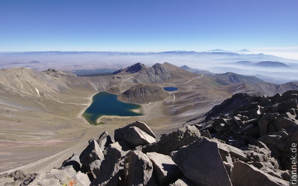
The continuation down the ridge would involve climbing. I take the easy way: back to the next saddle and then through steep gravel more sliding than walking in a direct line to the Laguna del Sol. This is more or less the main trail and two groups come towards me. I feel sorry for all of them who are digging their way up this way instead of the only slightly longer but much more pleasant route over the crest. Not to mention the good views.
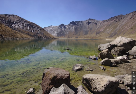
In the crater simply along the lake shore and then over the pass to the car (where I meet busloads of weekenders). I spend the rest of the day in the car on the way to Iztaccíhuatl.
Links
Read on
From Cancun to Mexico City
Iztaccíhuatl
Mexico City and around
Puebla and Cholula
El Chichón