In the megalomania typical of dictators, Pinochet wanted to build a road through the scarcely populated south of Chile. It never reached the cities of Punta Arenas and Puerto Natales and probably never will, with all the fjords and mountains in the way. Today, the Carretera Austral, which is well over 1000 km long and only partially paved, connects the few small towns and scattered tiny villages of central Patagonia with the rest of the country.
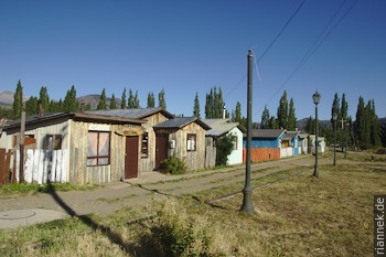
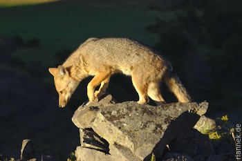
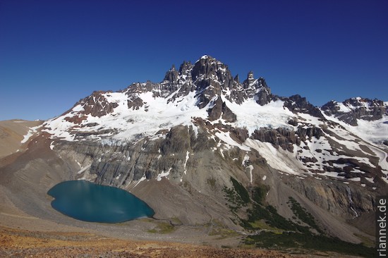
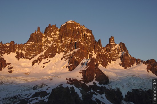
The most famous mountain in this region is Cerro Castillo, which really looks like a castle with its rock pinnacles. In bright weather I climb from the village of Villa Castillo to the lake situated under the rock face and a hanging glacier. It is hot and windless, only the countless horseflies buzzing around me are terribly annoying. I camp up there with a great view. I especially wanted to photograph the mountain in the light of the sunrise. When I crawl out of the tent in the morning, it looks good at first, the sunrise starts promisingly with pink clouds and ends disappointingly, as black clouds appear behind the mountain at exactly the wrong moment and a few minutes later it rains. Patagonia … Two hours later, the sky is as blue again as if nothing had happened.
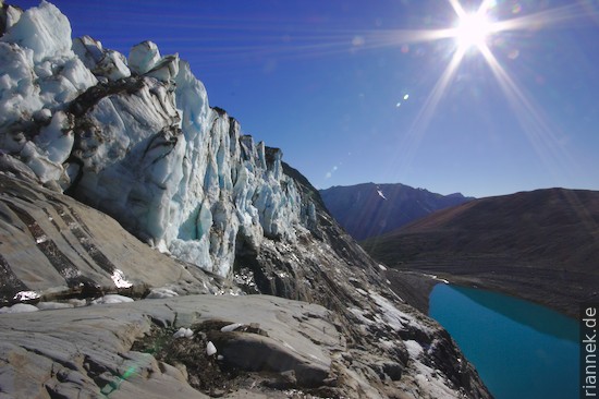
In half a day I traverse largely pathless along the tree limit over rock debris to reach the back of the mountain. Amazingly resistant, these southern beech trees, at the uppermost limit they are only bushes, but these really do grow as far up as possible. The razor-sharp line of the tree limit is really the top edge of the vegetation here. I camp in a valley basin surrounded by rocky peaks and explore a few small lakes. Cerro Castillo looks less impressive from this side than the neighbouring rock castles.
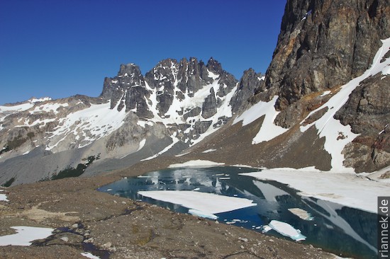
A day later, the weather is still perfect, and I decide to climb up to Laguna Castillo again, for a second chance. There would have been no bus anyway because of the weekend, so I would have had to hitchhike. This time I get my photo … And finally I spend a hot summer afternoon in Villa Castillo, with ice cream and cold beer. The locals moan about the heat and I would have liked to have had shorts. That was my last day in Patagonia. A little atypical perhaps, but overall the weather on this trip was much better than its reputation. I even got less rain in the two months than last summer during the 2-week trek in the Dolomites!
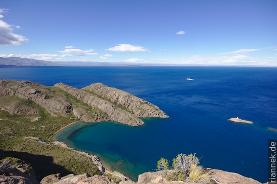
To get here from Argentina, I had crossed the border between the villages of Los Antiguos and Chile Chico. Both are on the shore of the second largest lake in South America, called Lago Buenos Aires in Argentina and Lago General Carrera in Chile. Although it lies east of the Andes, its waters flow into the Pacific: the Rio Baker cuts through the mountain range, right between the Northern and Southern Patagonian Ice Fields. The two villages are within sight of each other, yet very different. Los Antiguos is flat and, except for the tiny village centre, consists of widely scattered farms. There is not much to see, but fresh cherries are available right now. Chile Chico, on the other hand, is a compact settlement on the edge of the mountains and here it is worth exploring the cliffs a little. The deep blue water, the bays and islets look almost Mediterranean. Actually, fruit is also grown here, but at the vegetable and fruit counters in the shops, apart from onions and a few tomatoes and peppers that are no longer quite fresh, I only see empty crates.
Read on
The Formation of Mountains
Patagonia
Puerto Varas in the Lake District of Chile
Cueva de los Manos
Perito Moreno National Park and trek to Cerro San Lorenzo
The Petrified Forest of Sarmiento